
By Martin Aylwin
19 Oct, 2026
0 Comment
Torres del Paine Map: The Circuits Were Drawn by Two Men on Horseback
In 1976 the park had no circuit. A Chilean ranger, Óscar Guineo, and an English mountaineer, John Garner, rode out on horseback to go around the massif. It took them two fifteen-day trips. They were not the first to make the loop, but they were the first to leave it usable, with temporary bridges, tape and paint.
That is the route everyone now calls "the O", walked by thousands of people a year with a GPS in their pocket.
It is spelled Garner, not Gardner
The mistake shows up on maps, on signposts and in guidebooks, and it has been repeating itself for decades. The pass carries the surname of the Englishman who opened it, and there is no "d" in it.
We are tiresome about this because the route was traced by a person with a first and last name fifty years ago, and spelling it right is the least we can do.
The two routes, at a glance
- W, 4 to 5 days, opened in 1996. The hard part is the climb to Base Torres.
- O, or Macizo Paine circuit, 7 to 9 days, traced in 1976. The hard part is the John Garner pass, at 1,200 metres.
- Base Torres, 1 day, trail marked in 1979. The hard part is the last stretch of moraine.
The W is newer than people assume. It opened in 1996, when the suspension bridge over the French river was built. Before that the standard route in the park was four days out and back the same way: Pudeto, Paine Grande camp, a day to the Sheraton camp — now Grey — and back again. The Lake Pehoé catamaran, which nobody can picture the itinerary without today, only started running in 1999.
The John Garner pass, at 1,200 metres, is what linked the Grey valley to the Dickson. Without it there is no O.
For either one you need a ticket and a booking for where you sleep: we go through that in the park entrance piece.
The lookouts, and what you are actually looking at
- Base Torres. The three granite towers above the lagoon. Climbers and porters heading for the Silencio valley were already using the trail, but CONAF only marked it the way you know it in 1979. In high season 500 to 1,200 people a day go up.
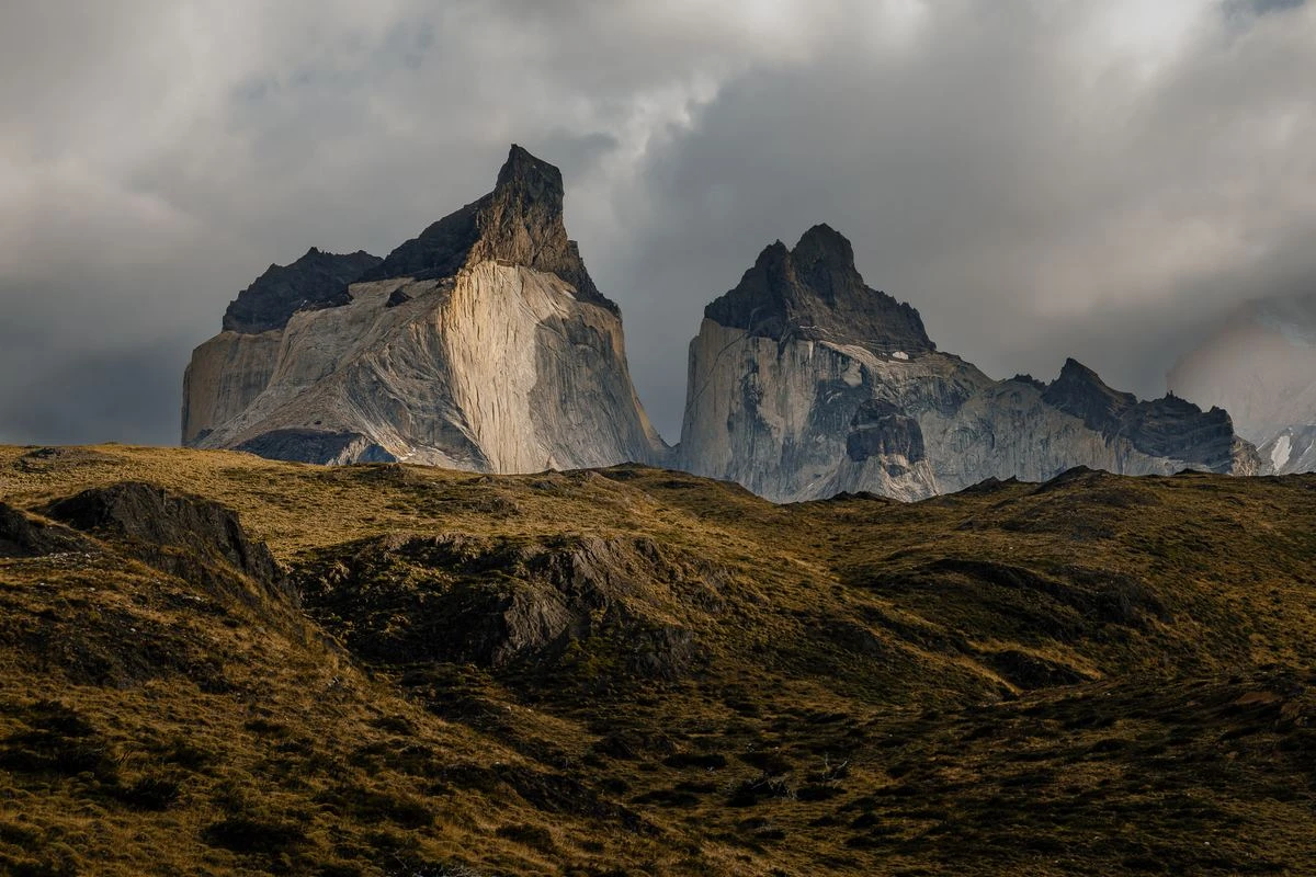
- Cuernos and Lake Nordenskjöld. The black rock capping the Cuernos is not granite. It is hornfels: what was left of the rock surrounding the magma, baked by the heat. There are fossil shells inside it. The lake is close to 300 metres deep, probably because it formed along a fault.
- Grey glacier. The front is 100 metres tall, but only about 30 stand above the water. What you see is a third of it. In the early 20th century it had two fronts; today it has three, because the retreat has exposed rocky peninsulas.
- French valley. The avalanches you hear from below are the French glacier rebuilding itself. It does not flow down from the ice field: it reassembles from ice falling off the hanging glaciers of Paine Grande.
- Salto Grande and Laguna Azul. Two day stops. Salto Grande is also one of the places where the wind spikes, so take more warm clothing than the photo suggests.
If you are coming for the day and want to see several of these lookouts without building the logistics yourself, that is our full day from Puerto Natales.
Why they are spires and not rounded hills
If you ever wondered why the Towers are vertical: it is the joints in the granite, the cracks left as the rock expands and contracts. Of granite's four minerals, plagioclase weathers first, and it cleaves in two directions. That makes the fractures come out more vertical than horizontal.
The result is eight-hundred-metre walls, and it is the reason this place is what it is for climbers.
Before you build your itinerary it helps to know which gate suits you and what weather you will meet.
-
Author
Martin Aylwin
Post a comment
Your email address will not be published. Required fields are marked *
Recent Posts
How to Get to Torres del Pai
19-10-2026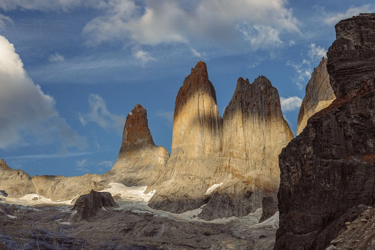
Torres del Paine Park Entran
19-10-2026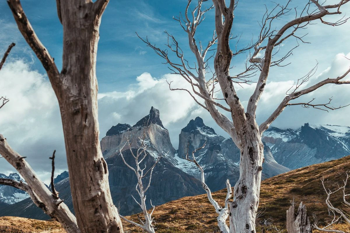
Torres del Paine Weather: Mo
19-10-2026